

IMAGES Act of 2023
Summary
Improvement of Mapping, Addresses, Geography, Elevations, and Structures Act of 2023 or the IMAGES Act of 2023 This bill reauthorizes through FY2029, and otherwise revises, the National Flood Mapping Program. Specifically, the Federal Emergency Management Agency (FEMA) must (1) integrate planimetric features (i.e., nontopographic features) including parcel identification data and address information in National Flood Insurance Program (NFIP) rate maps (community maps delineating flood hazard areas, flood elevations, and flood risk zones applicable to flood insurance rate determination); (2) update rate maps to reflect specified timely geographic data and protocols; and (3) publish NFIP rate map data through a publicly available national geospatial data repository. FEMA must also coordinate with the United States Geological Survey to ensure maintenance of stream flow gages and award certain contracts in accordance with existing qualification procedures applicable to architectural and engineering services. The bill also allocates funds from the National Flood Insurance Fund for the creation and maintenance of NFIP rate maps.
Bill status
in committee
1 of 4 stages cleared
Introduction
Apr 2023
Committee Review
Floor Vote
President
Introduced Apr 10, 2023
Last action Apr 10, 2023
Floor votes
How they voted
No floor votes recorded yet.
Full legislative history
Actions timeline
Total actions
2
Key actions
0
Committee
1
Apr 10, 2023
Committee
Referred to the House Committee on Financial Services.
lower
Apr 10, 2023
Introduced
Introduced in House
lower
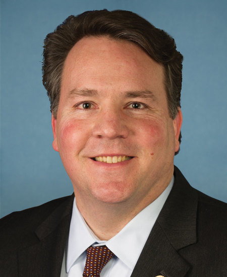
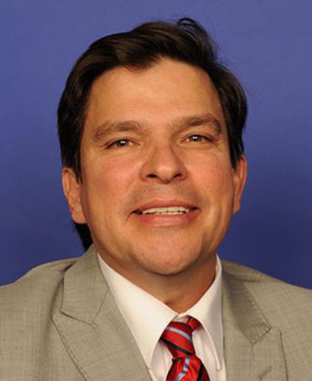
1 primary · 1 co-sponsor
Sponsors
Ask Maddy
·
AI policy assistant
Ask Maddy about HR 2568
Scope: US
Hi! I can help you understand HR 2568. What would you like to know?
Try one of these
i
Maddy answers using official bill text and legislative records. Always verify before sharing.
Sources cited inline